Orthomosaic Map Generation with Drones: A Complete Guide
In the realm of geospatial data collection, drones have become indispensable, offering remarkable versatility and agility in capturing high-resolution images. Among the valuable outcomes of drone surveys is the creation of orthomosaic maps, a process that combines multiple images to produce an accurate, distortion-free representation of the surveyed area with geographic references. This article provides a comprehensive guide for both seasoned geospatial experts and newcomers to the field, exploring the techniques and principles behind the generation of orthomosaic maps using drones.
Understanding Orthomosaic Maps
What is an Orthomosaic Map?
An orthomosaic map is a composite image created by stitching together numerous individual photographs captured from a drone. Unlike traditional aerial photographs, orthomosaic maps are geometrically corrected to remove distortions caused by terrain and the drone's perspective. This correction process, known as orthorectification, ensures that the resulting map is highly accurate and can be used for precise measurements and analysis.
Why are Orthomosaic Maps Valuable?
Orthomosaic maps offer a wealth of benefits across different fields:
- Construction and Surveying: Architects, engineers, and land surveyors rely on orthomosaic maps for site planning, monitoring construction progress, and conducting topographic surveys.
- Environmental Monitoring: Researchers and conservationists use orthomosaic maps to track changes in ecosystems, study wildlife habitats, and assess the impact of environmental factors.
- Disaster Response: In the event of natural disasters, orthomosaic maps aid emergency responders in assessing damage, identifying hazards, and planning rescue operations.
- Precision Agriculture: Farmers use orthomosaic maps to monitor crop health, assess irrigation needs, and plan planting and harvesting activities more efficiently.
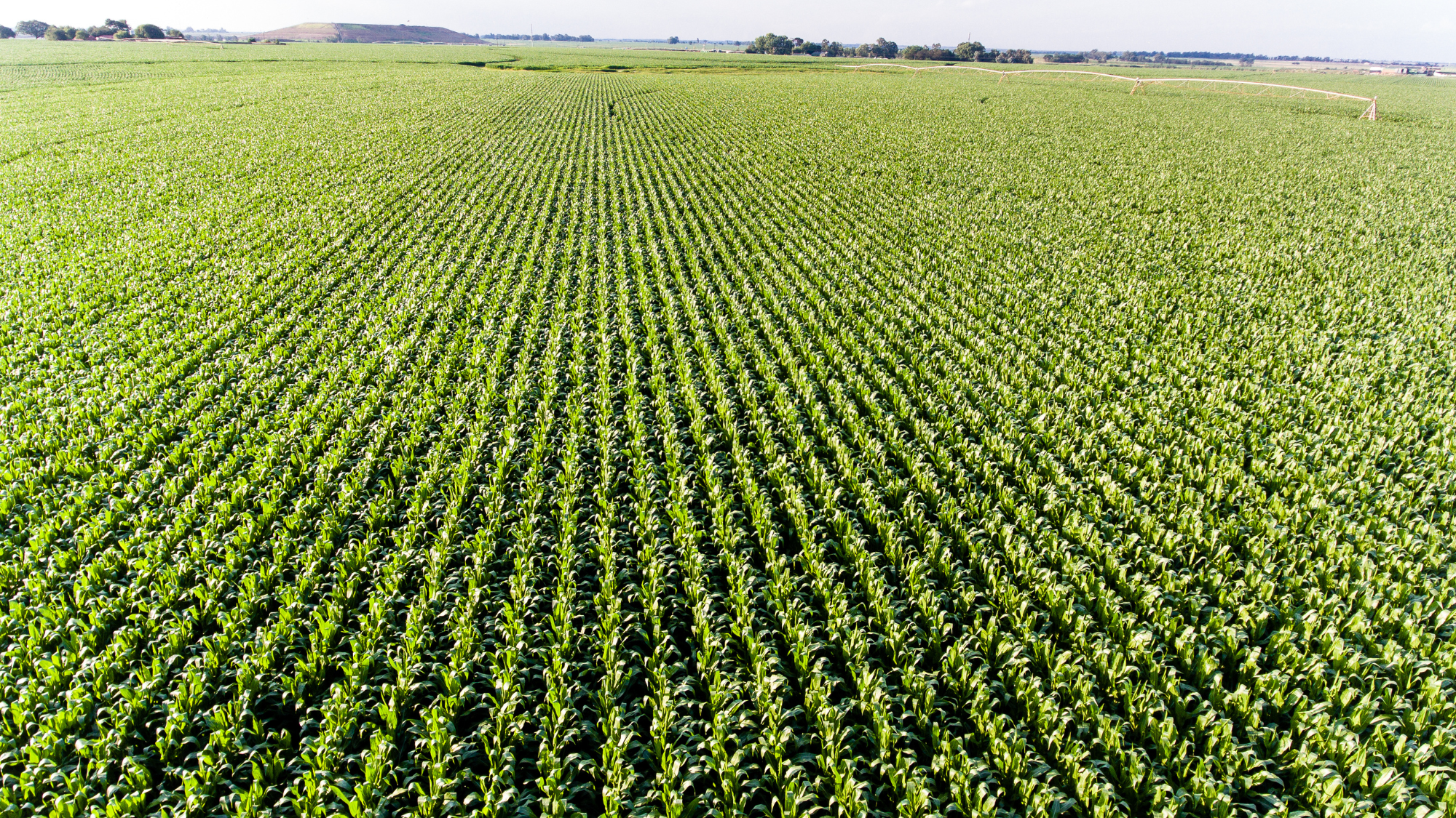 Orthomosaic map generation allows farmers to monitor their crops effectively to help increase yield.
Orthomosaic Map Generation with Drones
Data Acquisition and Preparation
The process of generating a precise orthomosaic map with drones begins with the meticulous acquisition of data. Drones, equipped with high-resolution cameras, are deployed to capture a series of overlapping terrain images, varying in altitudes and angles. These collected images, coupled with precise GPS data, form the cornerstone for the subsequent processing stages. To ensure the utmost accuracy and reliability of the final orthomosaic map, it’s essential to maintain uniform lighting conditions and minimize terrain variations throughout the entirety of the drone's flight. This careful attention to detail lays the foundation for achieving consistent and high-quality results in the orthomosaic map generation process.
Georeferencing and Initial Processing
The process of orthomosaic map creation begins with georeferencing the captured images. Leveraging both the drone's GPS and IMU (Inertial Measurement Unit) data, we establish the precise location and orientation of each image. This process effectively rectifies any positional inaccuracies and compensates for camera tilt and roll, ensuring that the subsequent stages of map generation are based on highly accurate and georeferenced data.
Image Alignment and Matching
At the core of orthomosaic map generation is precisely aligning and matching images. To accomplish this, sophisticated keypoint detection algorithms such as SIFT (Scale-Invariant Feature Transform) or SURF (Speeded-Up Robust Features) are employed to identify distinctive features within the images, forming a set of reference points. These key points are systematically matched across multiple images, establishing correspondences that play a pivotal role in achieving precise and accurate alignment and eliminating distortions from the final orthomosaic map. This intricate alignment and matching process is fundamental to ensuring the accuracy and quality of the generated map.
Bundle Adjustment and Point Cloud Generation
The next phase in the orthomosaic map generation process is bundle adjustment. This critical step is dedicated to the refinement of camera parameters and georeferencing data, carefully ironing out any potential errors that might have emerged during the initial processing stages. The result is a precisely optimized set of camera positions and orientations, guaranteeing the utmost accuracy in the subsequent steps. Following this, specialized software utilizes the aligned images to craft a dense point cloud, intricately determining the 3D coordinates of each point through a triangulation process using overlapping image data. This dense and meticulously crafted point cloud serves as the cornerstone for building the intricate and detailed orthomosaic map.
Digital Surface Model (DSM) and Digital Terrain Model (DTM)
Using the extensive data within the dense point cloud, advanced algorithms play a crucial role in distinguishing surface characteristics from the underlying terrain. These algorithms utilize stereo-matching techniques to carefully assess disparities among images, converting them into precise elevation values. This intricate process results in the generation of two fundamental components: the Digital Surface Model (DSM) and the Digital Terrain Model (DTM). The DSM provides a comprehensive representation of prominent structures such as buildings and vegetation, offering a detailed view of surface features. In contrast, the DTM meticulously depicts the natural terrain beneath, devoid of surface objects. This distinct contrast between the DSM and DTM holds paramount importance in the creation of orthomosaic maps of exceptional accuracy, precisely rendering the intricacies of the surveyed area.
Orthorectification and Mosaicking
Orthorectification is the process through which captured images are meticulously transformed into distortion-free representations, taking into account the terrain relief and camera orientation. The data obtained from the DSM and DTM play a pivotal role in enhancing the accuracy of this rectification process. Following orthorectification, the rectified images are seamlessly stitched together into a mosaic, culminating in a comprehensive and cohesive representation of the surveyed area. This final orthomosaic map accurately portrays the surveyed terrain with exceptional detail and precision.
Georeferenced Orthomosaic Map
The pinnacle of the orthomosaic map generation process is the georeferenced orthomosaic map. In this advanced map, each pixel is linked to a precise geographic coordinate, enabling precise measurements and in-depth analysis. The georeferenced orthomosaic map seamlessly integrates the orthorectified images with the DSM and DTM data, offering a comprehensive view of the surveyed terrain while maintaining geometric accuracy. This final map is an invaluable tool for various applications, providing a detailed and geospatially accurate representation of the surveyed area.
Orthomosaic Map Generation: Challenges and Advancements
Orthomosaic map generation presents its own share of challenges. Dealing with variations in images from dynamic factors such as shifting lighting conditions, occlusions, and intricate terrains requires the application of advanced algorithms and processing pipelines. Embracing cutting-edge technology, the integration of machine learning techniques, including deep neural networks, holds the potential to automate and significantly improve various aspects of the process. These advancements extend from enhancing feature matching to streamlining orthorectification, promising a more efficient and precise orthomosaic map generation process.
Conclusion
Creating orthomosaic maps with drones blends technical expertise with state-of-the-art algorithms. For those specializing in this field, mastering the process enables us to unlock precise geospatial insights from aerial imagery. As we navigate through the complexities of data acquisition, image alignment, and georeferencing, we harness the full potential of drones to transform geospatial mapping. This journey opens up new horizons for precision and profound insights in our constantly evolving domain.
Need more help? contact us for support