Choosing the Best Mapping Drone: A Complete Guide
In the ever-evolving landscape of drone technology, drones have emerged as powerful tools with a wide range of applications within mapping. Whether you're involved in precision agriculture, construction site mapping, or any industry requiring accurate spatial data, selecting the right mapping drone is a critical decision. With a multitude of options available, understanding your needs and the features that matter most is essential. In this guide, we'll explore everything you need to know about mapping drones, including top manufacturers like DJI, senseFly, and Wingtra, to help you make an informed decision.
The Roles Of Mapping Drones: Tailored Specifications
Mapping drones has revolutionized how professionals collect geospatial data. These drones are equipped with advanced technology such as high-resolution cameras, LiDAR (Light Detection and Ranging) sensors, and GPS systems, enabling them to capture precise imagery and data from the sky. The applications of mapping drones are vast and include:
Precision Agriculture
Mapping drones play a pivotal role in modern agriculture. They can assess crop health, monitor irrigation, and even optimize planting patterns. By providing detailed aerial images and data, farmers can make informed decisions to enhance crop yields and reduce resource wastage. Look for drones like DJI's Matrice series, fitted with multispectral sensors to offer insights into crop health helping to ensure optimized resource allocation.
Construction Site Mapping
In the construction industry, mapping drones are indispensable for site planning, progress monitoring, and quality control. They create 3D models, detect structural issues early on, and facilitate efficient resource allocation, ultimately saving time and reducing costs. Within the process of creating these 3D models, high-resolution imagery and point clouds are essential. Drones like DJI's M300RTK or Mavic 3 Enterprise come equipped with RTK/PPK for unparalleled accuracy.
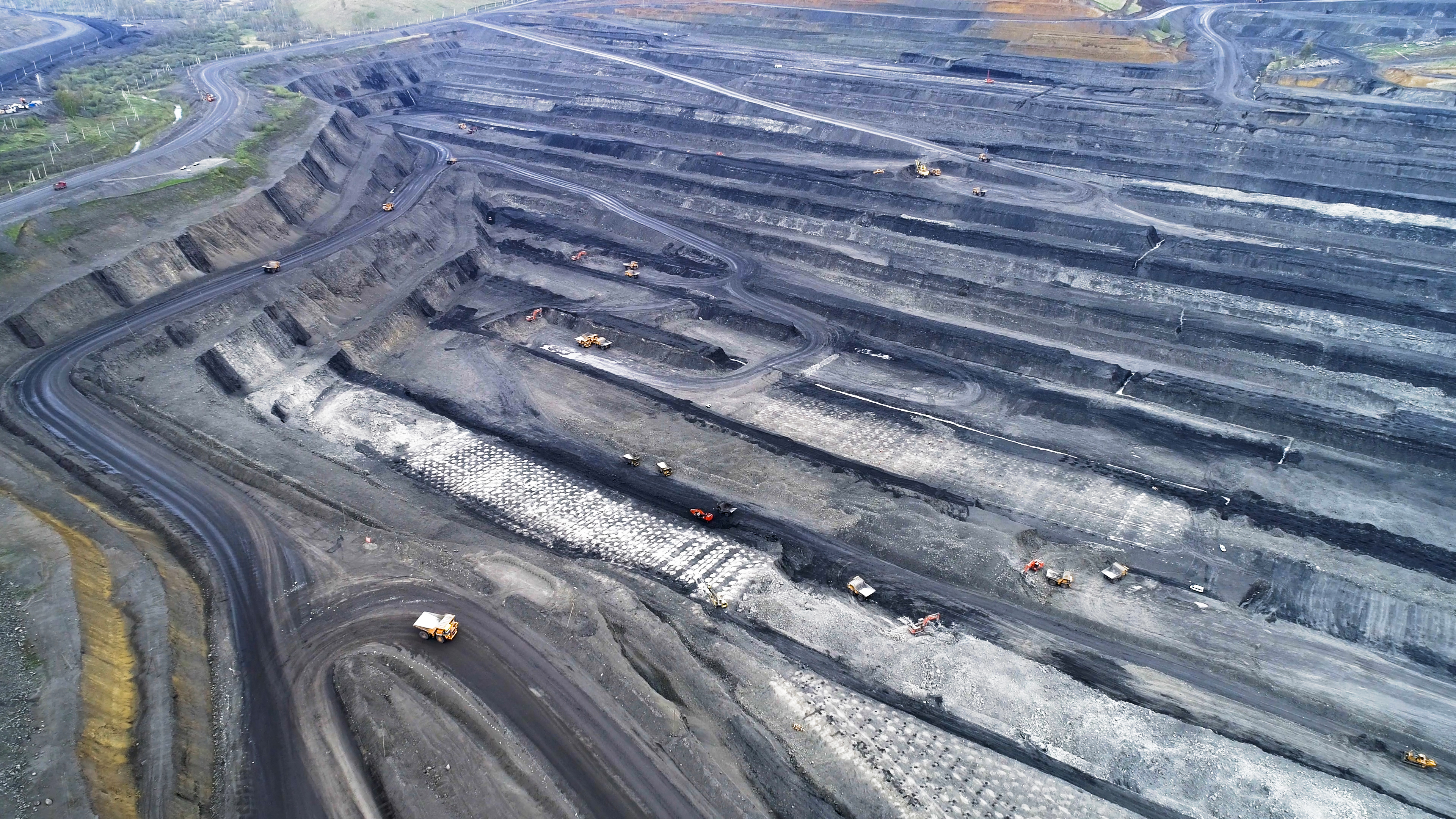
Mining
Mapping drones have also found a valuable place in mining operations. They are used for surveying large mining sites, monitoring pit progression, and calculating stockpile volumes accurately. This data is crucial for mine planning, safety assessments, and compliance with environmental regulations. Within the field of mining and for challenging terrains, drones such as WingtraOne offer endurance with their unique VTOL capabilities.
Key Considerations for Drone Selection
Choosing the ideal mapping drone requires a thoughtful assessment of your unique requirements and objectives. Here are vital factors to weigh when making your selection:
Purpose and Application
Start your drone selection process by pinpointing its primary purpose. Will it be utilized for crop monitoring, land surveying, or construction site mapping? Different applications may necessitate specific features and capabilities tailored to your needs, which we touched on above.
Budget
When selecting a mapping drone, make budgeting a top priority to ensure you derive the utmost value from your investment. Additionally, conduct a thorough maintenance evaluation by assessing potential upkeep costs, component availability, and manufacturer support services. Opt for a drone with accessible parts and dependable customer service for long-term savings.
Beyond the initial purchase price, perform a comprehensive long-term cost analysis, accounting for ongoing expenses like battery replacements, software updates, and necessary accessories tailored to your mapping requirements. By factoring in these considerations, you can make a cost-effective and informed decision.
Payload Capacity
Consider the weight and dimensions of the equipment or sensors you intend to carry on the drone. Verify that your chosen drone boasts the necessary payload capacity to accommodate your desired tools and technologies.
Flight Time
Extended flight durations are often advantageous, enabling the coverage of larger areas in a single mission. Assess the drone's battery life to ascertain if it aligns with your operational requirements.
Durability and Environmental Resilience
The ruggedness and ability of the drone to withstand adverse weather conditions or challenging terrains may be critical depending on your application. Ensure that the drone's build quality aligns with your operational environment.
Data Quality and Sensors
Evaluate the quality and type of sensors the drone can support. High-resolution cameras, LiDAR, or multispectral sensors may be essential for your data collection needs. Assess if the drone can integrate these sensors seamlessly.
Regulatory Compliance
Adhere to the regulatory requirements in your region for drone operations. Ensure that the selected drone complies with all relevant regulations and is suitable for your intended use within those legal constraints.
Software and Data Processing
Consider the software ecosystem that accompanies the drone. Robust data processing and analysis tools can significantly enhance the value of the collected data. Compatibility with your existing software infrastructure should also be assessed.
By methodically assessing these factors, you can confidently select a mapping drone that aligns with your objectives, delivers exceptional performance, and optimizes your investment.
The Various Types Of Drones
Fixed-Wing Drones:
Fixed-wing drones resemble miniature airplanes, designed for extended flight times and large-area coverage. Ideal for mapping expansive landscapes, these drones are efficient and cover more ground in a single flight. They are commonly used in agriculture for crop monitoring and mapping vast terrains.
Multirotor Drones:
Multirotor drones, including quadcopters and hexacopters, are versatile and maneuverable. They excel in areas with complex structures or when high precision is required. Multirotor drones are often employed in construction and infrastructure inspection for detailed mapping of buildings and vertical structures.

VTOL (Vertical Take-Off and Landing) Drones:
Combining the benefits of both fixed-wing and multirotor drones, VTOL drones can take off and land vertically but transition to fixed-wing flight for improved efficiency during mapping missions. These drones are suitable for applications where flexibility in take-off and landing is essential, such as corridor mapping.
Leading Manufacturers: Choosing from the Best
Dive into the diverse world of drone manufacturers, each addressing specific mapping needs:
- DJI: With options like Phantom 4 RTK, DJI offers a suite of drones featuring advanced mapping capabilities.
- senseFly: Known for fixed-wing drones, the eBee X by senseFly stands out with its high-end camera and extended battery life.
- Wingtra: A leader in VTOL technology, WingtraOne is ideal for industries demanding vast area coverage with pinpoint accuracy.
In Summary
In conclusion, mapping drones have transformed industries by offering efficient, cost-effective, and precise data collection solutions. Whether you're involved in agriculture, construction, or any other field requiring spatial data analysis, selecting the right mapping drone is a crucial step toward success. Evaluate your requirements, and explore the offerings of top manufacturers like DJI, senseFly, and Wingtra. The best mapping drone is the one that best serves your unique needs and helps you achieve your goals in the world of geospatial data collection.
Need more help? contact us for support