LIDAR Mapping: How It Works and Its Applications
Leaders in geoscience frequently explore cutting-edge technologies to map the intricate landscapes of the Earth, which leads them to pioneering technologies. Among these innovations, LIDAR (Light Detection and Ranging) mapping emerges as a powerful frontier, offering unprecedented insights into the planet's features. In this article, we delve into LIDAR mapping's emerging applications and its transformative potential in geoscience.
The Inner Workings of LIDAR Mapping
LiDAR operates by emitting laser light toward an object and precisely measuring the time it takes for the light to bounce back to the sensor. The laser source emits rapid pulses of light, and a highly sensitive sensor meticulously records the time it takes for each pulse to return after scattering off the surface. This rapid and iterative process is repeated at quick intervals to create a comprehensive and intricate map of the object's features, allowing for precise and detailed mapping and analysis.
From Data to Digital Terrain Models
While LIDAR's raw data may initially appear chaotic, it serves as a foundational element for creating precise Digital Terrain Models (DTMs). These DTMs play a pivotal role in various geoscientific endeavors, offering:
- Comprehensive Terrain Elevation Vistas: Through the transformation of point clouds into tangible surfaces, DTMs provide detailed and accurate representations of terrain elevations, enabling geoscientists to analyze landscapes with a high degree of precision.
- Deep Dives into Natural Formations: DTMs facilitate in-depth examinations of natural formations, aiding in the study of geological features, landforms, and topographic changes over time.
- Snapshots of Human-Constructed Edifices: They also offer insights into human-made structures, supporting architectural assessments, urban planning, and infrastructure maintenance by providing accurate elevation data.
- Temporal Landscape Shifts: DTMs are invaluable for monitoring changes in landscapes over time, including erosion, subsidence, and other environmental shifts.
 LIDAR allows for precise and detailed mapping and analysis.
A Glimpse into LIDAR Applications
Environmental Monitoring: LIDAR's capability to capture elevation data is indispensable for coastal, riverine, and wetland monitoring. It assists in deciphering shoreline dynamics, floodplain alterations, and erosion patterns, facilitating informed environmental strategies and conservation efforts. Urban Planning and Infrastructure: LIDAR's 3D renditions are instrumental for urban planners and engineers, as they streamline insights into urban expansion, infrastructure assessments, and the design of efficient transit networks. Natural Hazard Assessment: LIDAR data is vital for assessing natural hazards such as landslides. It helps in demystifying terrain vulnerabilities, enabling the implementation of robust risk mitigation measures to protect communities and infrastructure. Archaeological Reconstructions: In cultural preservation, LIDAR plays a significant role in uncovering subsurface ancient remnants. Archaeologists can use this technology to reconstruct bygone landscapes and gain deeper insights into historical sites. Forestry Management: Penetrating dense foliage, LIDAR provides detailed insights into forest canopies, biomass estimations, and tree altitudes. This information is crucial for sustainable forestry management and carbon capture studies.
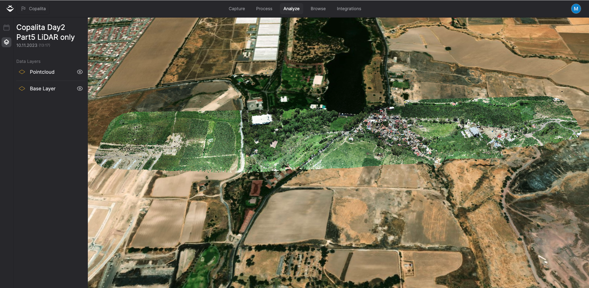
 View from the skies as LIDAR Mapping is revolutionizing forestry management.
The Challenges With LIDAR Mapping
While LIDAR mapping boasts remarkable capabilities, it does come with its share of challenges. Interpreting extensive point clouds requires the use of advanced software and the expertise of skilled professionals. Additionally, the expenses associated with data gathering can be substantial, particularly for large-scale projects.
Learn more about LIDAR vs. Photogrammetry and which is best for your mapping needs.
The Future of LIDAR
However, the future of LIDAR is bright. Ongoing developments such as sensor miniaturization, enhanced automation, and advancements in data processing are effectively reducing costs and expanding its applicability. Notably, in mobile LIDAR systems, factors like GPS and IMU (Inertial Measurement Unit) data—providing crucial information on the instrument's height, location, and orientation—become paramount. This is particularly relevant in the context of LIDAR-equipped UAVs, where real-time spatial data plays a pivotal role in achieving precision and efficiency.
As LIDAR continues to evolve and integrate with complementary technologies like photogrammetry, it holds the promise of even greater precision and reach in the future.
In Conclusion
LIDAR mapping, driven by its laser-based precision, is fundamentally transforming the landscape of geoscience. Its versatility is evident in the diverse range of applications it offers, spanning from environmental monitoring to urban planning, which highlights the complexity of the landscapes it explores. Embracing LIDAR mapping propels us into an era of renewed understanding and innovation in geoscience. It serves as a catalyst for groundbreaking discoveries and advancements that enable us to address complex challenges with unparalleled accuracy and insight.
Need more help? contact us for support