Transforming Forestry Management With Drone Mapping
In the heart of the world's forests lies a technological transformation that is reshaping the way we understand and manage these vital ecosystems. Drone mapping, a powerful fusion of unmanned aerial vehicles and geospatial technology, has emerged as an invaluable tool for forestry management. In this article, we'll uncover the benefits, economics, challenges, and cutting-edge technology driving this transformative revolution.
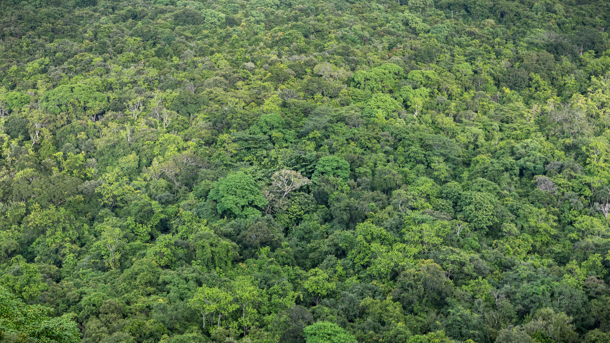
Canopy Insights: The Benefits of Drone Mapping in Forestry
Drone mapping brings forth a host of benefits in forestry management which we’ve outlined below:
- Accurate Inventory: Drone maps provide high-resolution imagery that enables accurate forest inventory, aiding in tracking tree species, density, height, and health. This data forms the foundation for informed decision-making.
- Biodiversity Mapping: Drones capture data that assists in mapping biodiversity hotspots, identifying rare species, and monitoring wildlife habitats, contributing to conservation efforts.
- Timber Volume Estimation: Accurate 3D models derived from drone data enable precise estimation of timber volumes, streamlining harvest planning and logistics.
- Forest Health Monitoring: Detecting diseases, infestations, and stress in trees is enhanced through drone imagery, allowing early intervention and containment.
However, it’s important to note that photogrammetry can struggle with areas dense in vegetation due to difficulties in matching similar features such as branches. In such cases, LiDAR is a more effective choice, as it utilizes active laser pulses, providing an advantage over the passive image-based approach of photogrammetry.
Economic Efficiency and Environmental Sustainability
The marriage of drone mapping and forestry management is not only ecologically sound but also economically advantageous as it offers:
- Optimized Harvesting: By accurately estimating timber volumes and identifying optimal areas for harvesting, forestry operations become more efficient, reducing costs and minimizing environmental impact.
- Regeneration Planning: Drone data facilitates analysis of areas suitable for natural regeneration, improving reforestation efforts and ensuring sustainable forest practices.
- Site Access Improvement: Mapping with drones aids in identifying potential access routes for machinery, reducing ground disturbance and soil compaction during forestry operations.
- Emission Reduction: Enhanced planning and targeted intervention through drone mapping lead to reduced carbon emissions associated with unnecessary forestry activities.
Confronting Challenges: From Technology to Terrain
While drone mapping in forestry holds immense potential, it comes with its fair share of challenges:
- Data Processing Complexity: Handling vast amounts of high-resolution data demands advanced processing software and expertise to transform images into meaningful insights.
- Terrain Variation: Dense vegetation and complex terrain can obstruct drone imaging, making it challenging to capture comprehensive data.
- Regulatory Compliance: Navigating airspace regulations and obtaining permits for drone flights in forested areas requires adherence to aviation authorities' guidelines.
- Data Interpretation: Analyzing the drone-derived data demands forestry expertise to accurately interpret forest structure, health, and dynamics.
Technology Pioneering the Path
Cutting-edge technology supports the transformation of forestry management through drone mapping. Here’s a breakdown of some of those technologies below:
- LiDAR Technology: Drones equipped with Light Detection and Ranging (LiDAR) sensors capture detailed 3D data, allowing for precise terrain modeling and canopy analysis.
- Multi-Spectral Imaging: Multi-spectral sensors on drones capture data across various wavelengths, unveiling insights about tree health and species composition.
- Machine Learning and AI: Advanced algorithms analyze the captured data, identifying patterns, anomalies, and trends, automating data interpretation.
- GIS Integration: Geographic Information Systems (GIS) seamlessly integrate drone-derived data with other geospatial layers, enhancing analysis and decision-making.
Experience how DroneMaps is simplifying and automating the entire process from data collection to export in this demo.
Conclusion: Navigating the Canopy of Innovation
Drone mapping's integration into forestry management unfolds a world of possibilities, empowering us to navigate the complex ecosystem of trees, biodiversity, and sustainability. As technology evolves, costs decrease, and regulations adapt, the potential for drone mapping in forestry expands. By embracing this evolution, foresters and ecologists are not only preserving our forests but also cultivating innovation and ushering in a greener and more sustainable future.
Need more help? contact us for support